Weather intelligence for the future: Crafting a strategic enterprise approach to changing environmental conditions
Continue reading

Max Storm
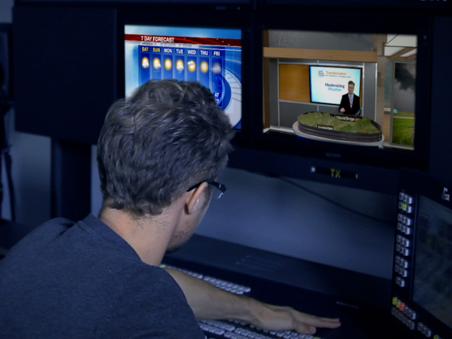
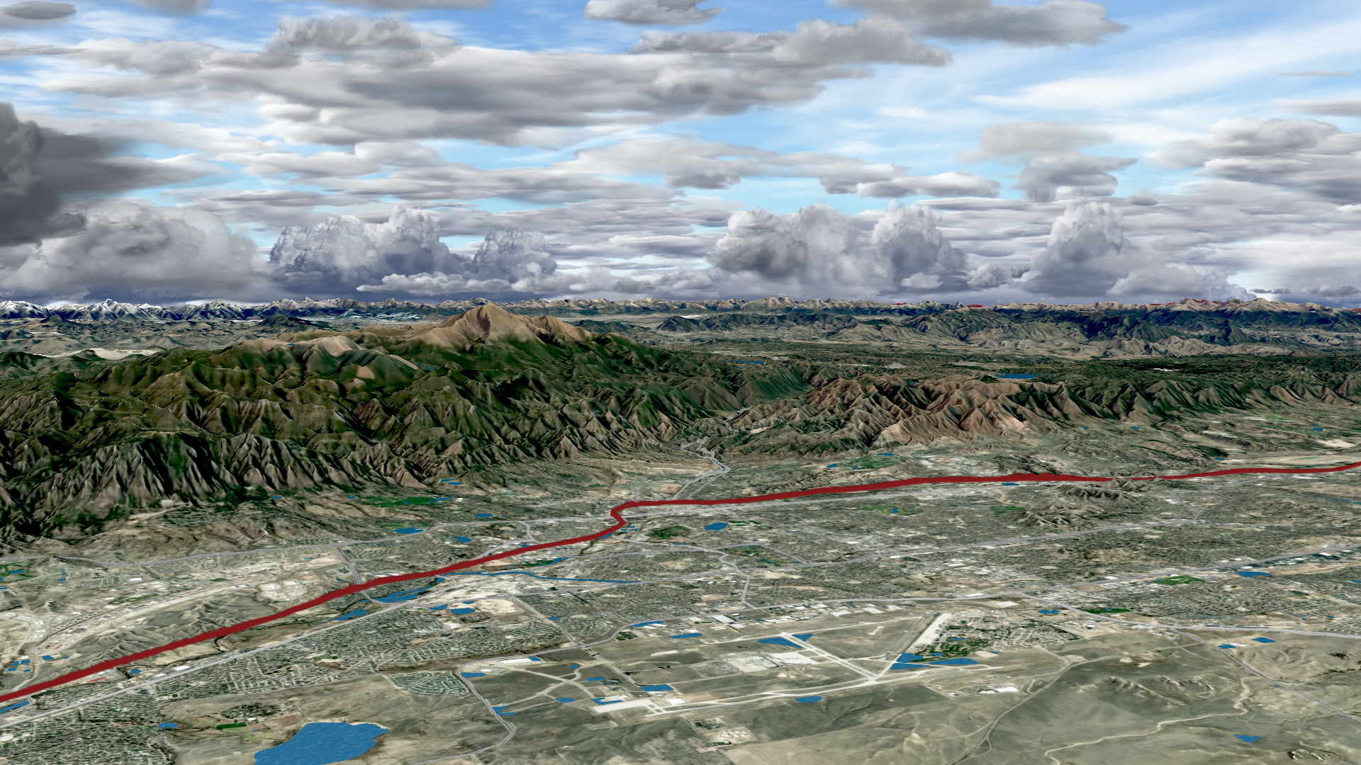
Create stunning 3D weather visualizations during severe weather coverage with augmented reality.
What 3D weather radar can do for your severe weather coverage
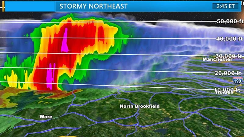
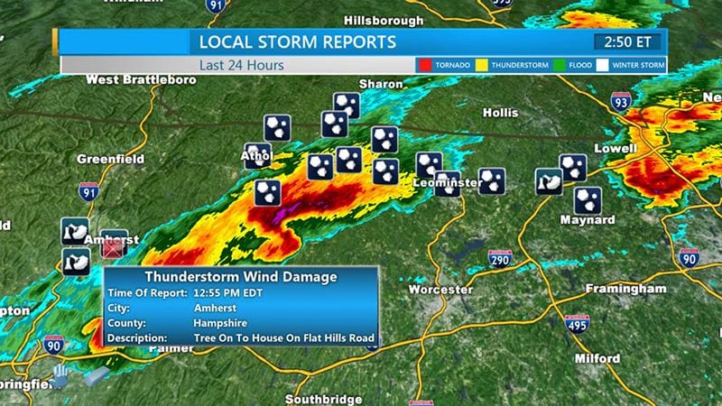
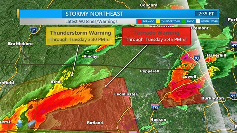
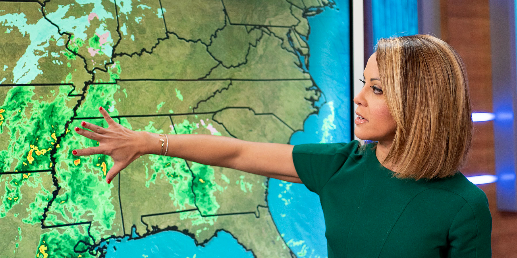
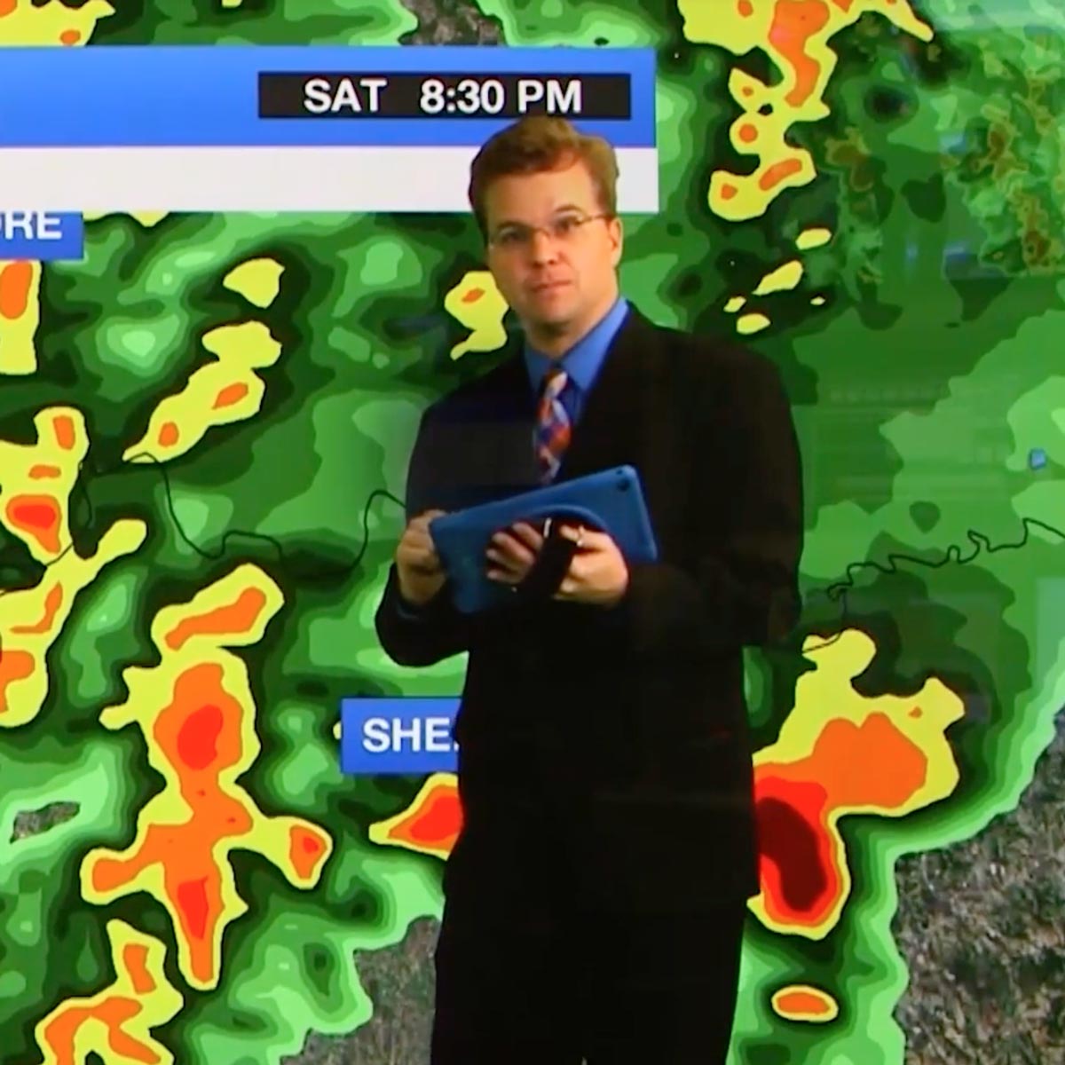
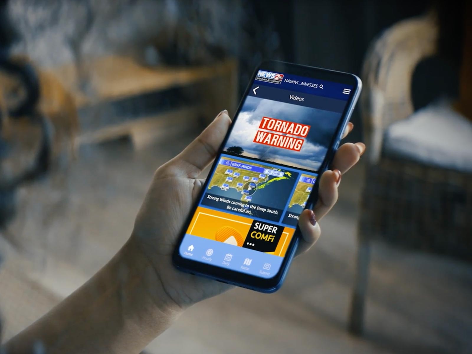
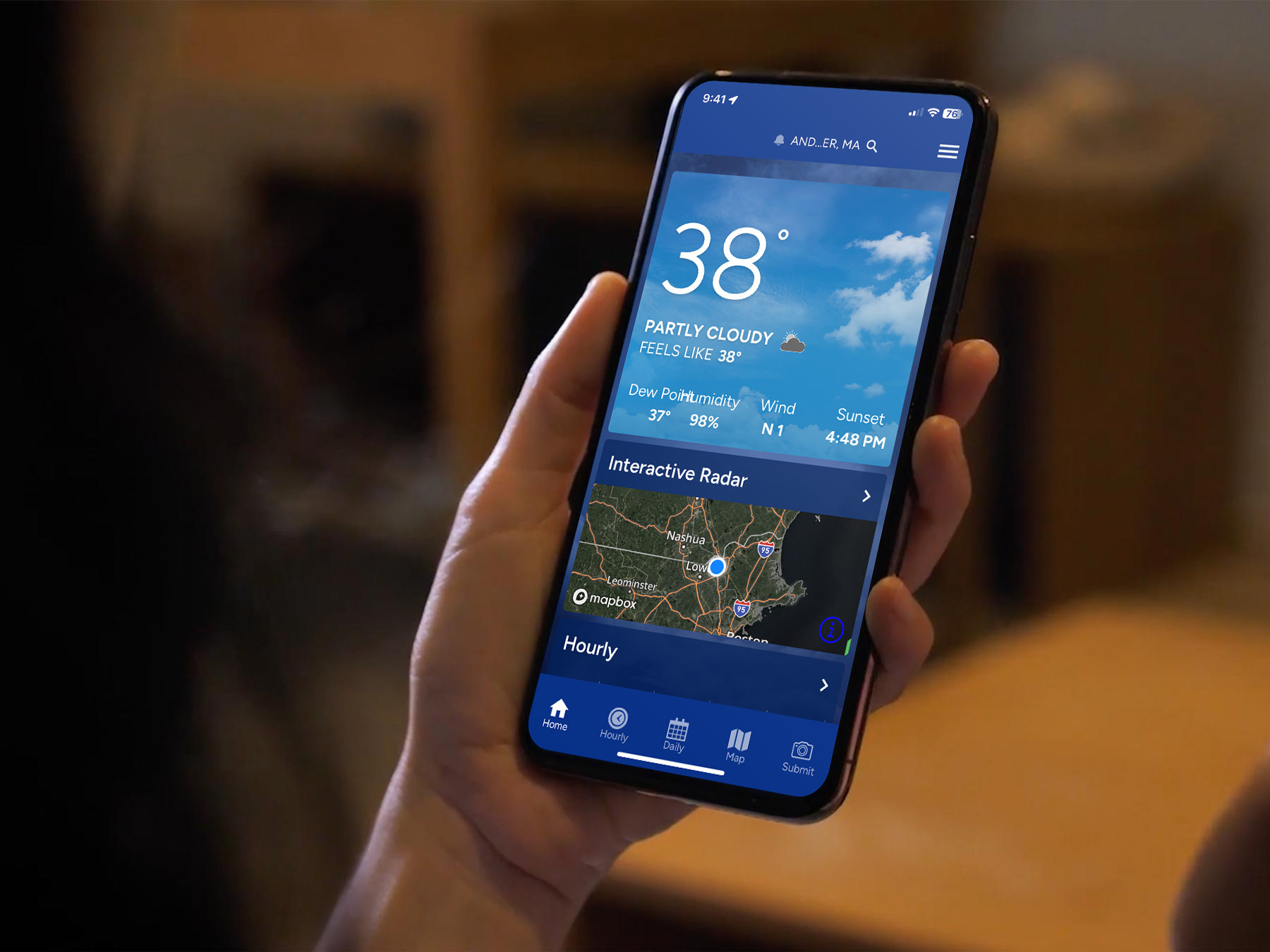
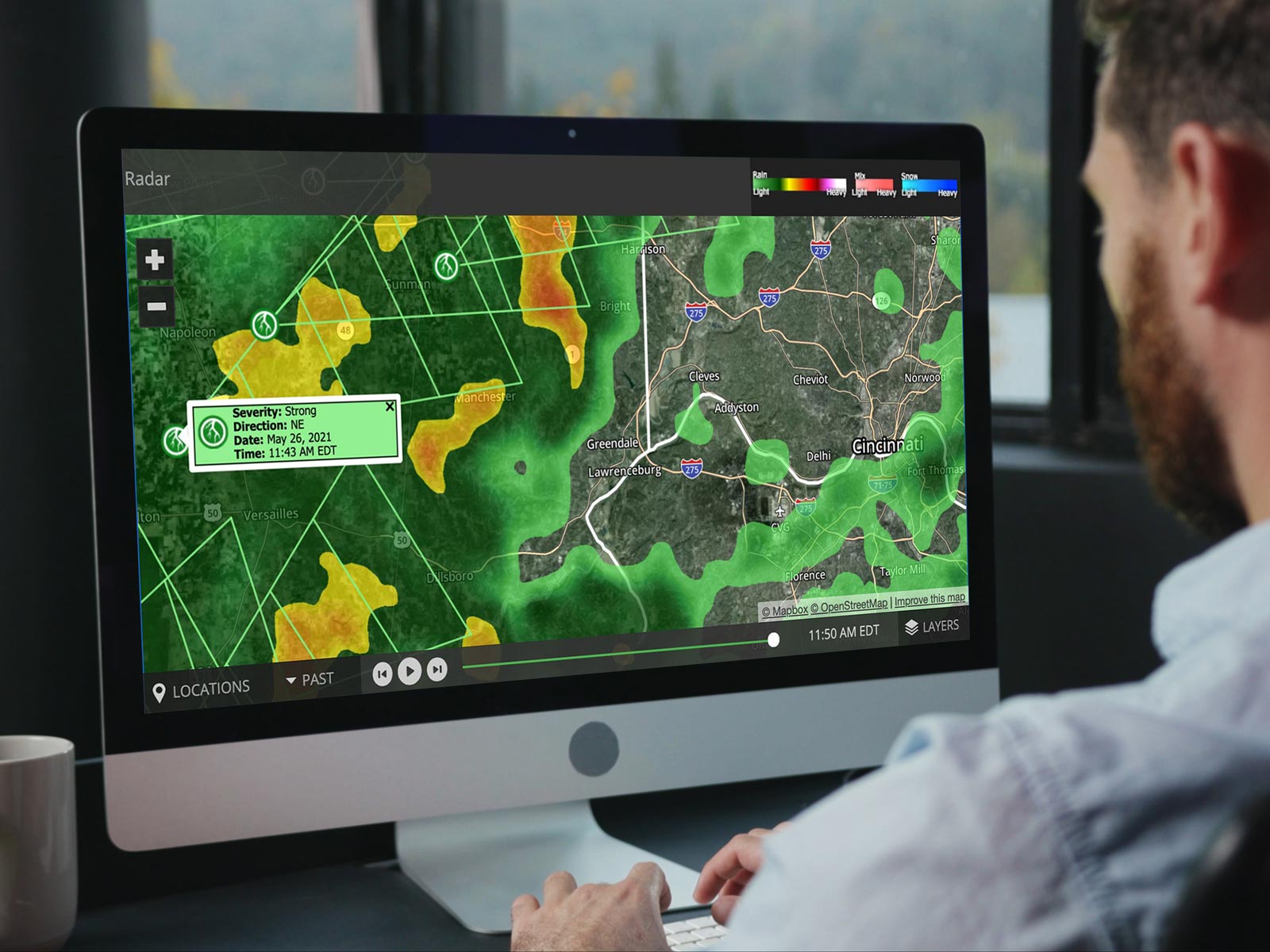
Whether on-air or across digital platforms, Max Storm is designed to empower your team with stunning visualizations, accurate data, and streamlined workflows that are crucial during severe weather coverage. Take viewers into the storm in near real-time with 3D imagery and advanced radar data. Engage your audience on mobile devices while also promoting your live on-air broadcast.
Look your best when the weather is at its worst
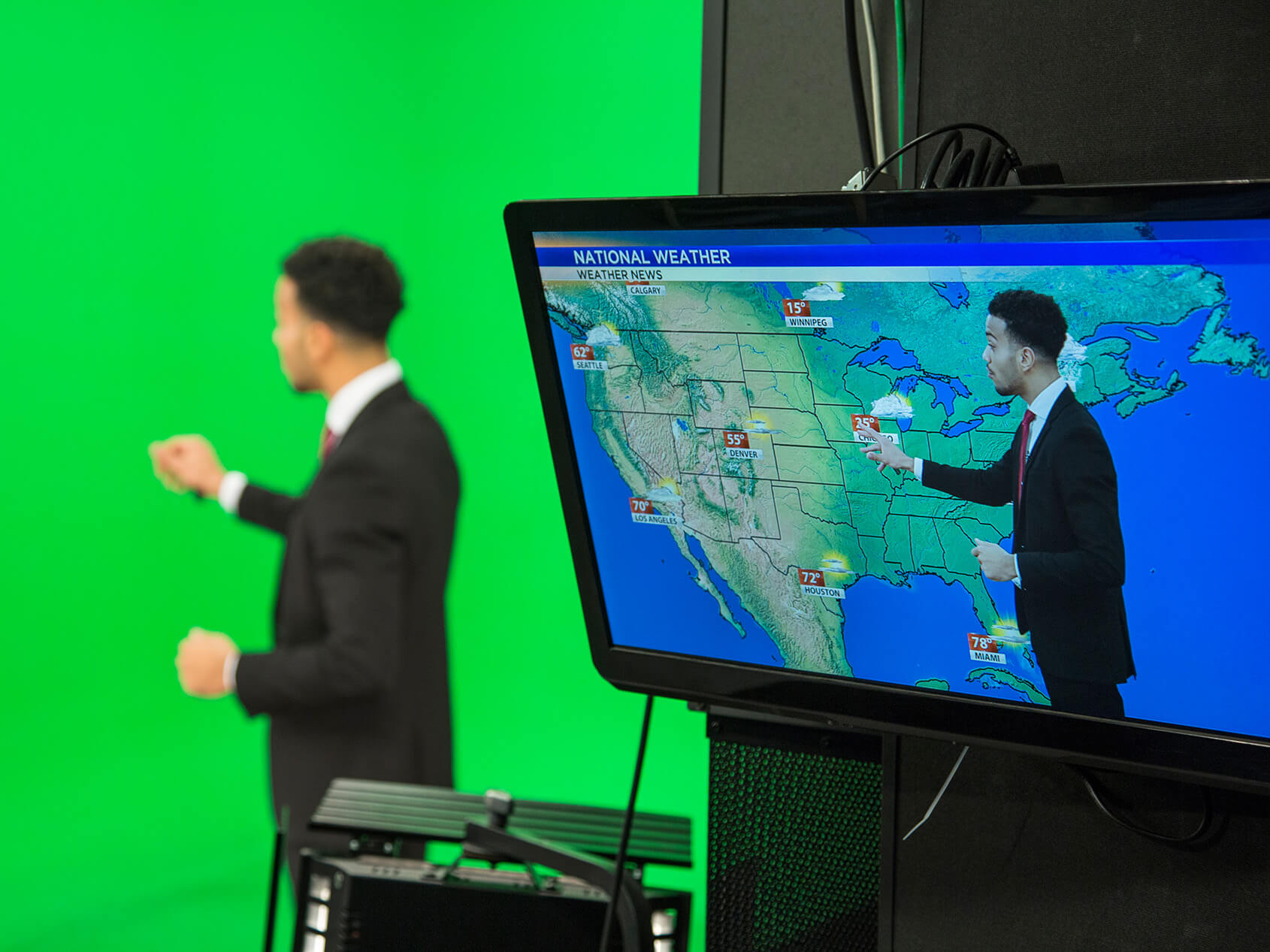
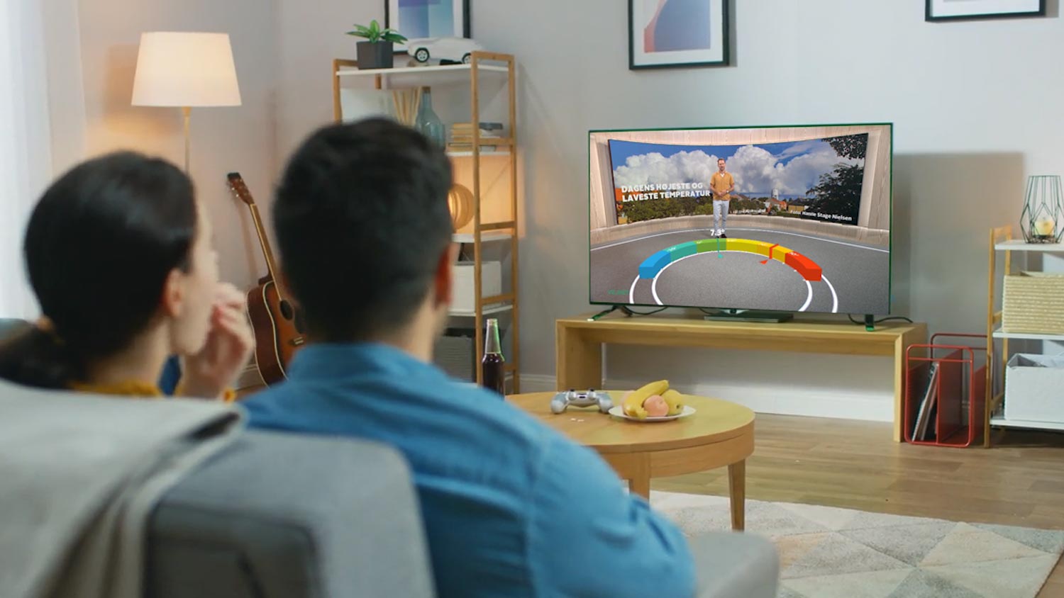
See how Max Storm’s 3D visualizations help you tell a more compelling weather story to keep your viewers engaged across devices.
Success story
Product spotlight
Be prepared with 3D weather radar
Max Storm gives you the power of engaging weather visualizations, accurate data, and efficient workflow during severe coverage with the help of 3D weather radar.
Frequently asked questions
3D weather radars provide coverage in three dimensions, including depth and elevation. This technology allows your newsroom to tell a complete and compelling story that your viewers will understand.
You can easily create a high-resolution, interactive weather map using Max Storm. This software uses real-time information from the National Weather Service, ensuring accurate and up-to-date weather data.
Max Storm uses data from up to five National Weather Service NEXRAD Level II Dual Polarity radar sites. Dual-pol radar products from The Weather Company are among the most advanced in the industry, going beyond reflectivity and velocity to provide access to the correlation coefficient, spectrum width, and differential reflectivity.
No. Max Storm is built into the Max ecosystem, so there’s only one system to learn, and all components integrate seamlessly.
Yes. Max Storm’s Scene Launch can make incorporating videos as seamless as clicking a weather map.
The Weather Company is the world’s most accurate weather forecaster overall, according to a study from ForecastWatch, Global and Regional Weather Forecast Accuracy Overview, 2021-2024, commissioned by The Weather Company.
For linear TV product questions, call 978.983.6350, email [email protected] or submit a ticket via The Weather Community.
For digital/mobile product questions, email [email protected].
Let’s talk
To learn more about stunning severe weather imagery with Max Storm, contact our media experts today.
Contact us

